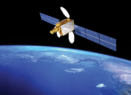
As we gaze up at the vast expanse of the sky, it’s easy to forget that beyond the thin veil of clouds lies a world of boundless possibilities waiting to be discovered. Through the lens of satellite imagery, we are granted a unique perspective, a bird’s eye view that transcends the limitations of our physical reach. With each pixel and sweep of the lens, a tapestry of Earth’s features unfolds before us, offering insights and revelations previously unimaginable.
Satellite images have become invaluable tools, revolutionizing the way we understand our planet and interact with it. From studying climate patterns to monitoring natural disasters, satellite imagery has permeated nearly every facet of our lives, guiding us towards a more informed and connected future. In this article, we delve into the transformative power of satellite imagery, exploring its myriad applications and the profound impact it has had on our collective consciousness.
Applications of Satellite Imagery
Satellite imagery plays a crucial role in various applications across different industries. It is widely used in environmental monitoring to track changes in landscapes and natural disasters. By analyzing satellite images, researchers and scientists can assess deforestation, monitor water levels, and study the impact of climate change on ecosystems.
Additionally, satellite imagery is instrumental in urban planning and infrastructure development. City planners utilize high-resolution satellite images to map out land use, transportation networks, and population distribution. This information helps urban authorities make informed decisions regarding zoning regulations, road construction, and disaster preparedness.
Furthermore, satellite imagery has revolutionized the field of agriculture. Farmers can leverage satellite data to monitor crop health, detect pest infestations, and optimize irrigation practices. By analyzing multispectral images captured by satellites, farmers can maximize crop yields, reduce environmental impact, and make efficient use of resources.
Advantages of Using Satellite Images
Satellite images provide a comprehensive view of Earth’s surface from a unique perspective. These images offer detailed information about various aspects of the planet, including land cover, weather patterns, and natural disasters. Researchers and policymakers rely on satellite imagery to monitor changes in the environment and track global events in real-time.
One key advantage of using satellite images is their ability to capture large areas quickly and efficiently. By collecting data from space, satellites can cover vast regions within a short period, allowing for timely and widespread monitoring. This rapid response capability is particularly crucial during emergencies such as wildfires, floods, and humanitarian crises.
Furthermore, satellite images offer a valuable tool for assessing environmental changes over time. By comparing images taken at different intervals, scientists can observe long-term trends, track deforestation, monitor urban growth, and study the impact of climate change. Satellite images of Brazil of satellite imagery provides a wealth of information for researchers studying Earth’s dynamic processes.
Future of Satellite Imaging
As technology continues to advance at a rapid pace, the future of satellite imaging holds immense promise. With ongoing innovations in satellite design and data processing capabilities, we can expect to see even higher resolution satellite images becoming more readily available. This will enable a deeper level of analysis and insight across various industries and research fields.
Advancements in artificial intelligence and machine learning are revolutionizing the way satellite imagery is utilized. These technologies are enhancing the ability to automatically analyze vast amounts of satellite data in real-time, leading to more efficient monitoring and decision-making processes. With the integration of AI, the potential applications of satellite imaging are expanding significantly.
Furthermore, the miniaturization of satellite technology is opening up new possibilities for smaller and more cost-effective satellite missions. This trend towards miniaturization, coupled with an increase in the number of satellites being launched into orbit, is creating a more interconnected network of satellites that can work together to provide a comprehensive view of our planet. This shift towards smaller satellites is expected to democratize access to satellite imagery and stimulate a broader range of uses in the future.